
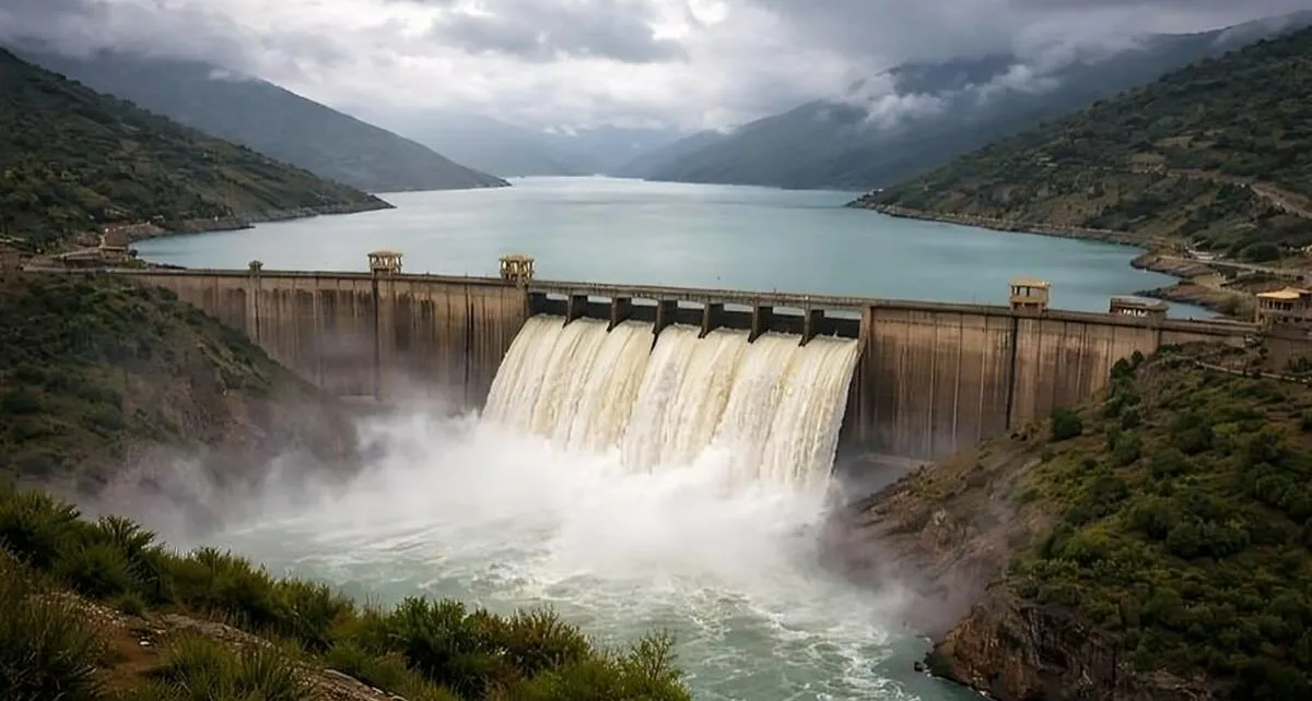
Morocco has recorded a monumental surge in water inflows across its national network of dams, signaling a robust turnaround for the North African kingdom's vital water reserves. According to official figures released by the Ministry of Equipment, Water and Forests, cumulative inflows since September have reached an impressive 1.2 billion cubic meters. This represents a dramatic and welcome increase compared to the 340 million cubic meters recorded over the same corresponding period last year, offering much-needed relief to agricultural sectors and municipalities alike.
Strengthened Reserves and Long-Term Water Security
With these substantial new additions, Morocco's overall dam filling rate now stands at a healthy 66.2%, bringing total national reserves close to 11.2 billion cubic meters. Experts note that this strong reservoir level successfully secures the country's drinking water supply for a minimum of two years, with several regions enjoying even greater long-term security. Having navigated consecutive years of severe drought punctuated by intense weather events, Moroccan authorities are firmly doubling down on forward-looking infrastructure planning to safeguard the country against future climatic shocks.
The Ministry is actively advancing a comprehensive water security roadmap stretching through 2050, tailored to the specific hydrological projections of each domestic river basin. Key pillars of this visionary strategy include the accelerated construction of new dams, the engineering of robust inter-basin water transfer networks, the rapid expansion of seawater desalination plants, and the increased reuse of treated wastewater. Furthermore, ongoing modernization efforts are sharply increasing efficiency across urban drinking water and agricultural irrigation networks.
Advanced Early Warning Systems and Flood Prevention
In tandem with water resource mobilization, Moroccan authorities are proactively managing environmental risks through advanced technological interventions. Following recent floods, the government has scaled up disaster preparedness by deploying the sophisticated "Vigicrues" system. This state-of-the-art monitoring framework tracks river flows in real-time and can trigger critical safety alerts up to three days before any potential hazard materializes, ensuring maximum protection for rural communities.
Collaborating closely with the Ministry of the Interior and the Fund for Combating the Effects of Natural Disasters, the government has established an automated SMS warning system to notify residents residing in vulnerable zones. Municipal leaders across various communes now receive daily, highly localized weather briefings, while forecasting timelines have been extended from three to ten days. Concurrently, authorities are compiling an updated national atlas of flood-prone areas and working hand-in-hand with urban planners to prohibit new residential or commercial construction in exposed river basins.